FalconMap

The ultimate digital mapping platform

Overview

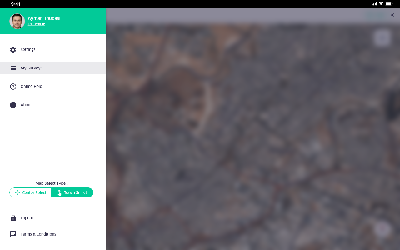
FalconMap is a powerful digital field management mapping application developed to perform fast geologic surveys and GIS data collection. It is an open-source product, works on both IOS and Android platforms and could be integrated with GIS servers like ArcGIS and QGIS.
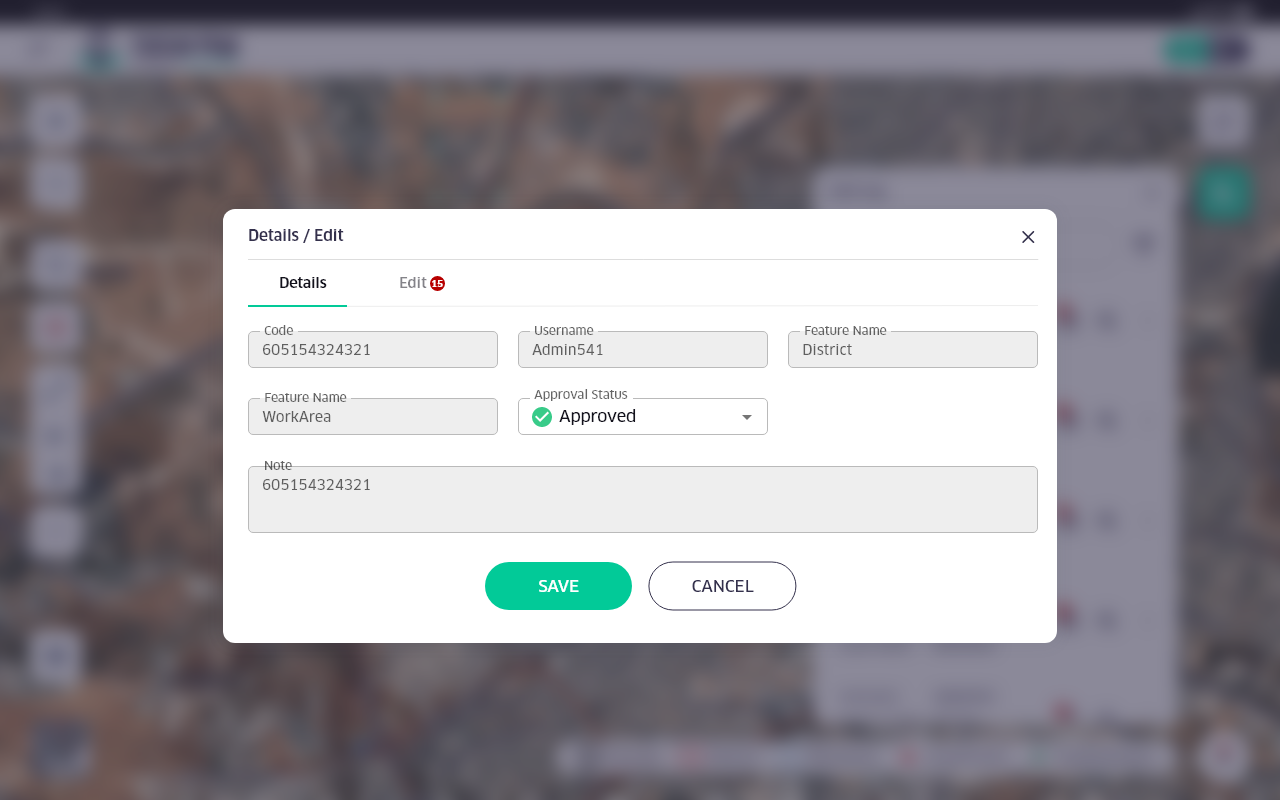
FalconMap is a web platform tool allows you to easily assign the geo-feature layers to your coworkers and control the main settings through one complete platform

Falcon Map

Product Capabilities

Map editing

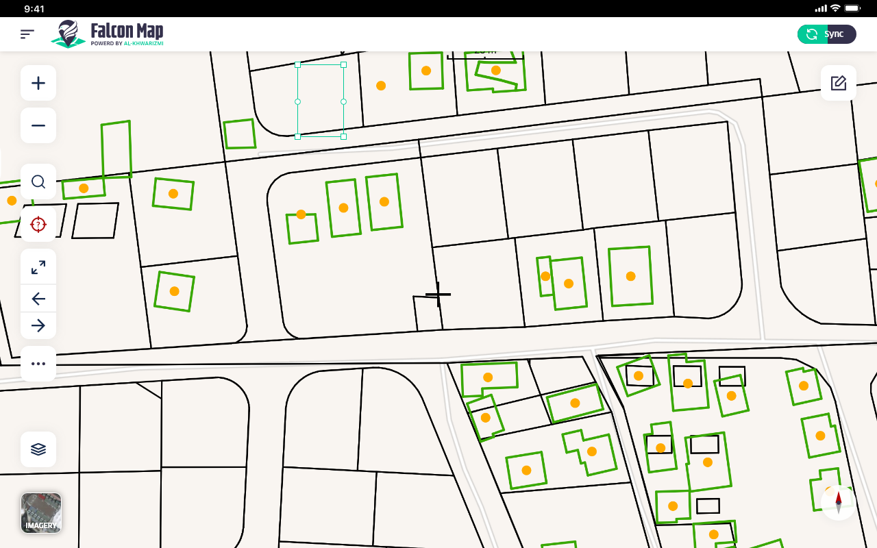
Enables efficient and accurate editing of spatial vector data, including creating, dividing, merging, deleting features, and drawing precise map details.

Different devices support

The supports many commercially available tablets, whether on the Android© or iOS© operating system.

Multi-Base Maps

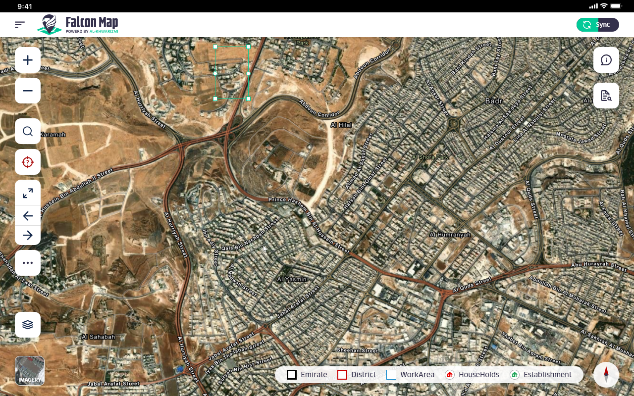
The product enables you to download more than one base map to view spatial data on it, and toggle between the different base maps while browsing GIS information.

Topology Rules

The product enforces data validation including the topographical rules and ensures that spatial data complies with them.

Field task management

A product component for managing the fieldwork, including defining and managing teams and allocating work areas/survey blocks to the workforce, with ability to review field data by supervisors and quality teams.

Online-offline Modes

The product downloads the map layers and caches them for local use, allowing to complete and store data locally. When connected to the network, the program transfers collected data to the GIS server.

What We Do

Supporting layers symbiology
Enabling search for features and attributes
Tracking user locations on the map with logging
Enabling setting field worker geo referenced text notes and capture images
Including more advanced tools for editing feature layers geo reference and attributes (divide, merge, re-shape, adding /deleting vertices, rotating/moving features )
Applying topology rules on editing.
Zooming, panning, rotating, compass, and extend
Synchronizing geo edits back to GIS services
Viewing map for navigation with support for raster and vector data
Assigning geo-feature and base map layers and control the attributes like opacity, visibility, clustering, labeling, and re-ordering…etc.