GIS Solutions

Leveraging GIS for Powerful Planning, Navigation, and Analysis Solutions

Overview

At RealSoft we recognize the importance of Geographic Information Systems (GIS) in our data-driven world. We have seamlessly integrated GIS into our products, providing valuable tools for managing field activities and analyzing spatial data. RealSoft operates across industries like statistics, transportation, and utilities, where GIS is crucial for accuracy and efficiency. RealSoft leverages GIS solutions to streamline fieldwork, monitor survey coverage, and provide navigation assistance. By integrating GIS into our statistical solutions, RealSoft ensures comprehensive and timely coverage for their clients.
GIS 1

How can we help?

Census & survey projects

Our product Al-Khwarizmi empowers clients to conduct censuses and surveys, utilizing GIS technologies to streamline project processes.

Data collection on maps

Delineate collected data on maps using the latest GIS technologies and tools, such as ESRI ArcGIS, Google maps and QGIS software.

Spatial Data ETL

Integrate spatial data from a range of sources; geo databases, web services, QGIS to meet target database requirements.

Map Update

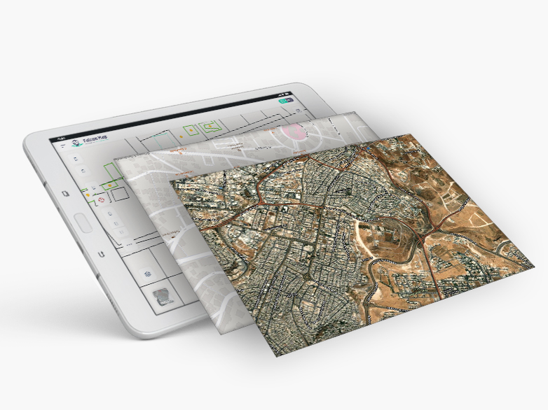
Enable clients to modify maps on tablets in addition to sending updates to geo-spatial database.

GIS services

We provide various GIS services, like, professional consulting, training, and ongoing support.
ARC GIS7 copy 1

RealSoft’s Offerings

Solutions

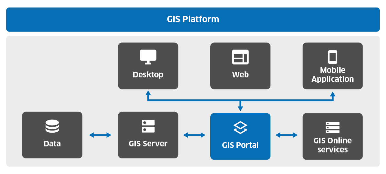
RealSoft provides GIS-based solutions for planning, processing, and analyzing data. Al Khwarizmi survey platform enables GIS-powered census and survey projects, integrating data with GIS databases. Transportation, communications, and water network studies utilize GIS maps for precise data delineation. We utilize ESRI ArcGIS, Google maps, and QGIS software for accuracy and efficiency.

Applications

RealSoft offers a variety of GIS applications. Our Map Update product is an offline digital map editing tool enables efficient creation and modification of map features on tablets. It allows users to send updates to the Geospatial database based on field data. Additionally, our web-based GIS platform empowers organizations to manage fieldwork activities, coordinate teamwork, allocate workloads, and review and approve data.

Spatial ETL

RealSoft’s GIS ETL product extracts and integrates spatial data from ESRI, web services, and QGIS. It ensures data validation and transformation for survey databases and map editing applications. This streamlines data integration, providing easy access to critical spatial data for real-time analysis. Our GIS ETL product automates workflows, enhancing productivity.

Services

RealSoft offers comprehensive GIS services, including consulting, training, and support. Our experienced team of GIS professionals provides guidance throughout the project lifecycle, from planning and design to implementation and maintenance. We also offer customized solutions tailored to meet the unique needs of each.